Drones in the Construction Industry
Drones are a powerful tool for construction site safety because they can quickly and easily survey a site from above, providing valuable data that can help identify potential hazards and improve overall safety.
3d Modelling
Our drone technology, expertise, and commitment to accuracy make them an ideal choice for clients looking for a fast, cost-effective, and non-invasive way to create detailed 3D models of their assets.
Why Peatland Restoration is so important
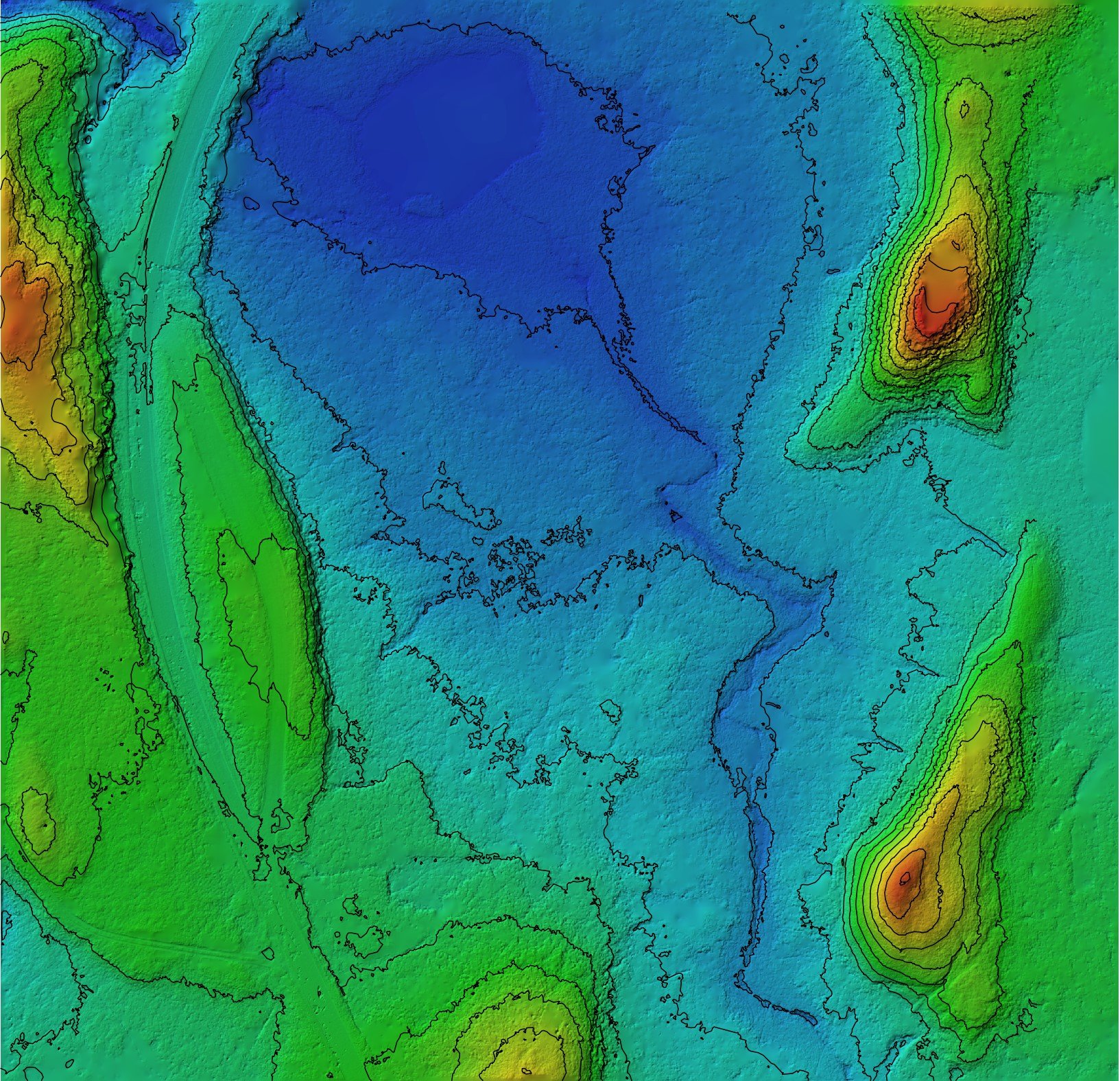
Peatlands are a unique and important ecosystem, covering approximately 3% of the earth's surface and containing approximately 30% of the world's soil carbon. However, due to factors such as agriculture, forestry, and mining, peatlands have been severely degraded, leading to negative impacts on the environment and climate change. Restoration of degraded peatlands is essential to mitigate these impacts and ensure the continued functioning of this ecosystem. The use of drones for peatland restoration has emerged as a promising approach to help in the restoration process.
WW2 Coastal Battery
PB Aerial Imaging Ltd recently used a drone to map a historic World War 2 Coastal Battery site.
Coastal Erosion Survey
PB Aerial Imaging was recently hired to monitor coastal erosion in Moray, Scotland. The client was a local council responsible for managing the coastline in the area. The council was concerned about the rate of coastal erosion and wanted to monitor the coastline to assess the extent of the problem.


