Coastguard Exercise
From the North of Scotland to the South Coast of England. We filmed and documented the Maritime Coastguard Agencies latest counter pollution exercise. This multi day multi agency training exercise saw Sea, Land and Airbourne assets deployed just outside Portland Harbour and on Weymouth beach.
The Moray Coast
The Moray Coast: A brief Aerial overview of some of the delights around the Moray Coast. Let this video give your next adventure some ideas.
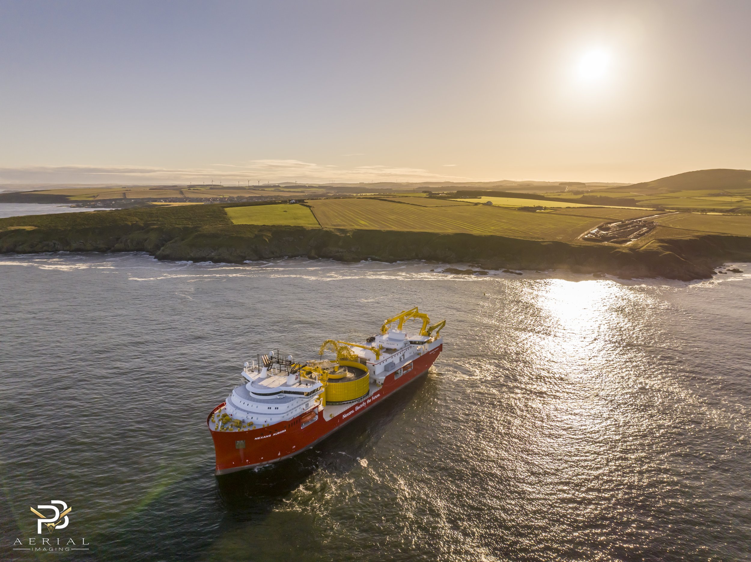
Nexans Aurora
Nexans Aurora starting the cable laying task for the Moray West Project. Captured at sunrise Sunday 12th November. The offshore cable run is over 65km with another 31km onshore connecting the windfarm to the national grid at the blackhillock substation.
Counter Pollution Exercise
The beginning of October saw the largest deployment of multi agency marine assets and personnel from a variety of organisations in Scotland this year. Organised and lead by the Maritime Coastguard Agency this Counter Pollution Exercise took place over 3 days 2 miles offshore outside the Port of Aberdeen. I was lucky enough to to be contracted to capture the exercise by both drone and ground camera. The professionalism and seamanship of all participants was a delight to watch as was the Airmanship from RVL Aviation, who flew at 20 feet above the sea on their dispersal runs.
Sunrise over Dalwhinnie Distillery
Sunrise over the Dalwhinnie Distillery. The site for the distillery was chosen for its access to clear spring water from Lochan-Doire-Uaine and abundant peat from the surrounding bogs. Set in splendid mountain scenery, Dalwhinnie is the highest distillery in Scotland with a visitors centre at 1,154 ft (352 m) above sea level. The highest distillery is actually Braeval, in Glenlivet at 1,163 ft (354 m)
Cromarty Firth
Stunning day out on the Cromarty firth last week filming with Progress Film and the Cromarty Lighthouse Research Station department of the University of Aberdeen.
Sir Duncan Rice Library
Sir Duncan Rice Library. This stunning Architectural masterpiece is the main academic library for the University of Aberdeen.
Drones in the Construction Industry
Drones are a powerful tool for construction site safety because they can quickly and easily survey a site from above, providing valuable data that can help identify potential hazards and improve overall safety.
WW2 Coastal Battery
PB Aerial Imaging Ltd recently used a drone to map a historic World War 2 Coastal Battery site.
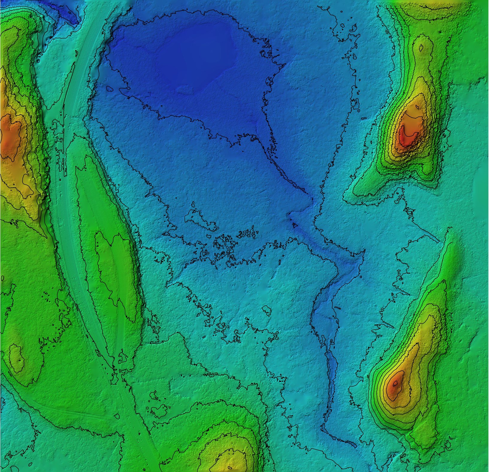
Coastal Erosion Survey
PB Aerial Imaging was recently hired to monitor coastal erosion in Moray, Scotland. The client was a local council responsible for managing the coastline in the area. The council was concerned about the rate of coastal erosion and wanted to monitor the coastline to assess the extent of the problem.


