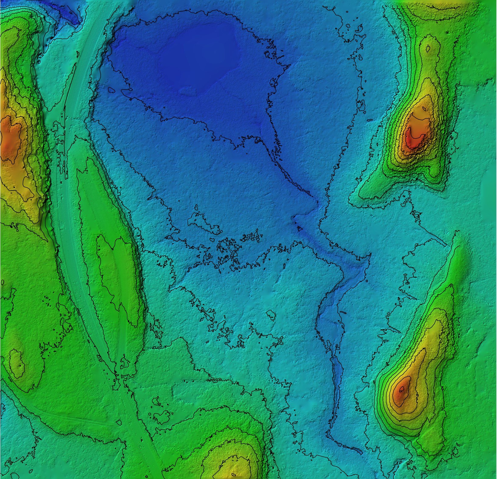
Topographic Surveys
Topographical surveys are an essential part of many projects, including construction, land development, mining, and environmental assessments. These surveys provide detailed information about the natural and man-made features of a site, including elevation, vegetation, waterways, and other important factors. Traditionally, topographical surveys have been conducted using ground-based surveying methods, which can be time-consuming, expensive, and limited in scope. However, advances in drone technology have opened up new possibilities for topographical surveys, offering a range of benefits over traditional methods.
Drones, also known as unmanned aerial vehicles (UAVs), are a type of aircraft that can be flown remotely and autonomously. They can be equipped with a range of sensors, including cameras, LiDAR (light detection and ranging), and other technologies that allow them to capture high-resolution images and data about the terrain and features of a site. This data can then be processed using specialized software to create accurate 3D models, maps, and other outputs that are useful for a range of purposes.
One of the primary advantages of using drones for topographical surveys is their speed and efficiency. Drones can cover large areas of land quickly and easily, capturing data from multiple angles and perspectives. This means that surveys can be completed in a fraction of the time it would take with traditional surveying methods, reducing project timelines and costs. For example, a survey that might take weeks or months using ground-based methods can often be completed in a matter of days or even hours using drones.
Another key benefit of using drones for topographical surveys is their accuracy and precision. Drones can capture data with a high level of detail and resolution, providing more accurate and precise information than traditional surveying methods. This can be particularly important in complex or challenging terrain, where ground-based methods may be limited or inaccurate. Drones can also capture data from hard-to-reach areas, such as steep slopes, cliffs, or areas with dense vegetation, that may be difficult or dangerous for surveyors to access.
In addition to speed, efficiency, and accuracy, drones also offer a range of other advantages for topographical surveys. For example, drones can capture data at different times of day or under different weather conditions, providing more comprehensive and detailed information about a site. They can also be programmed to fly along specific flight paths or capture data at specific intervals, allowing for more standardized and consistent data collection.
Another advantage of using drones for topographical surveys is their flexibility and adaptability. Drones can be equipped with a range of sensors and cameras, allowing them to capture different types of data depending on the needs of the project. For example, they can be used to capture images, video, or LiDAR data, or to collect data about temperature, moisture, or other environmental factors. This flexibility allows for more customized and tailored surveys, depending on the specific needs of the project.
Finally, using drones for topographical surveys can also be more environmentally friendly and sustainable than traditional surveying methods. Drones use less energy and generate fewer emissions than ground-based vehicles or aircraft, and they can also reduce the need for heavy equipment or machinery on site. This can help to minimize the environmental impact of surveys and reduce the carbon footprint of a project.
In conclusion, drones are an excellent tool for conducting topographical surveys, offering a range of advantages over traditional surveying methods. With their speed, efficiency, accuracy, flexibility, and environmental benefits, drones are a valuable addition to any project that requires detailed information about the terrain and features of a site. As drone technology continues to advance and evolve, we can expect to see even more opportunities for their use in topographical surveys and other applications


