3d Modelling
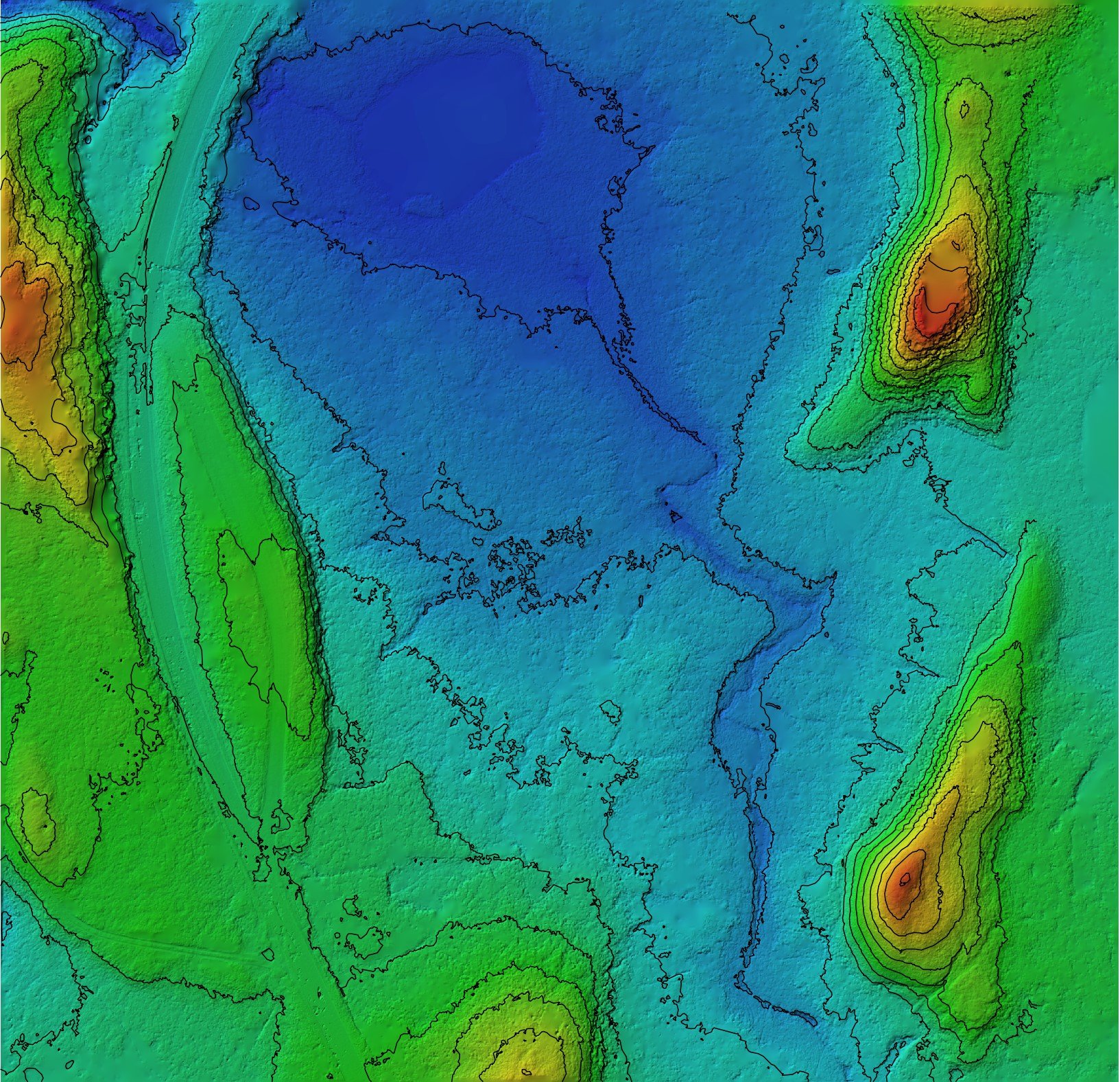
Our drone technology, expertise, and commitment to accuracy make them an ideal choice for clients looking for a fast, cost-effective, and non-invasive way to create detailed 3D models of their assets.
WW2 Coastal Battery
PB Aerial Imaging Ltd recently used a drone to map a historic World War 2 Coastal Battery site.
Coastal Erosion Survey
PB Aerial Imaging was recently hired to monitor coastal erosion in Moray, Scotland. The client was a local council responsible for managing the coastline in the area. The council was concerned about the rate of coastal erosion and wanted to monitor the coastline to assess the extent of the problem.


